
Spice Lake Wildfire Update
NORTHERN MINNESOTA - The Spice Lake Wildfire continues to burn in Boundary Waters Canoe Area Wilderness (BWCAW) in the Superior National Forest. The fire is located about east of Knife and Kekebabic Lakes and southwest of Seagull Lake and about 10 miles west of the Gunflint Trail. This area is about 55 miles north-northeast of Silver Bay, Minnesota, and about 100 miles northeast of Duluth, Minnesota You can see a rough map of the location of the fire below.
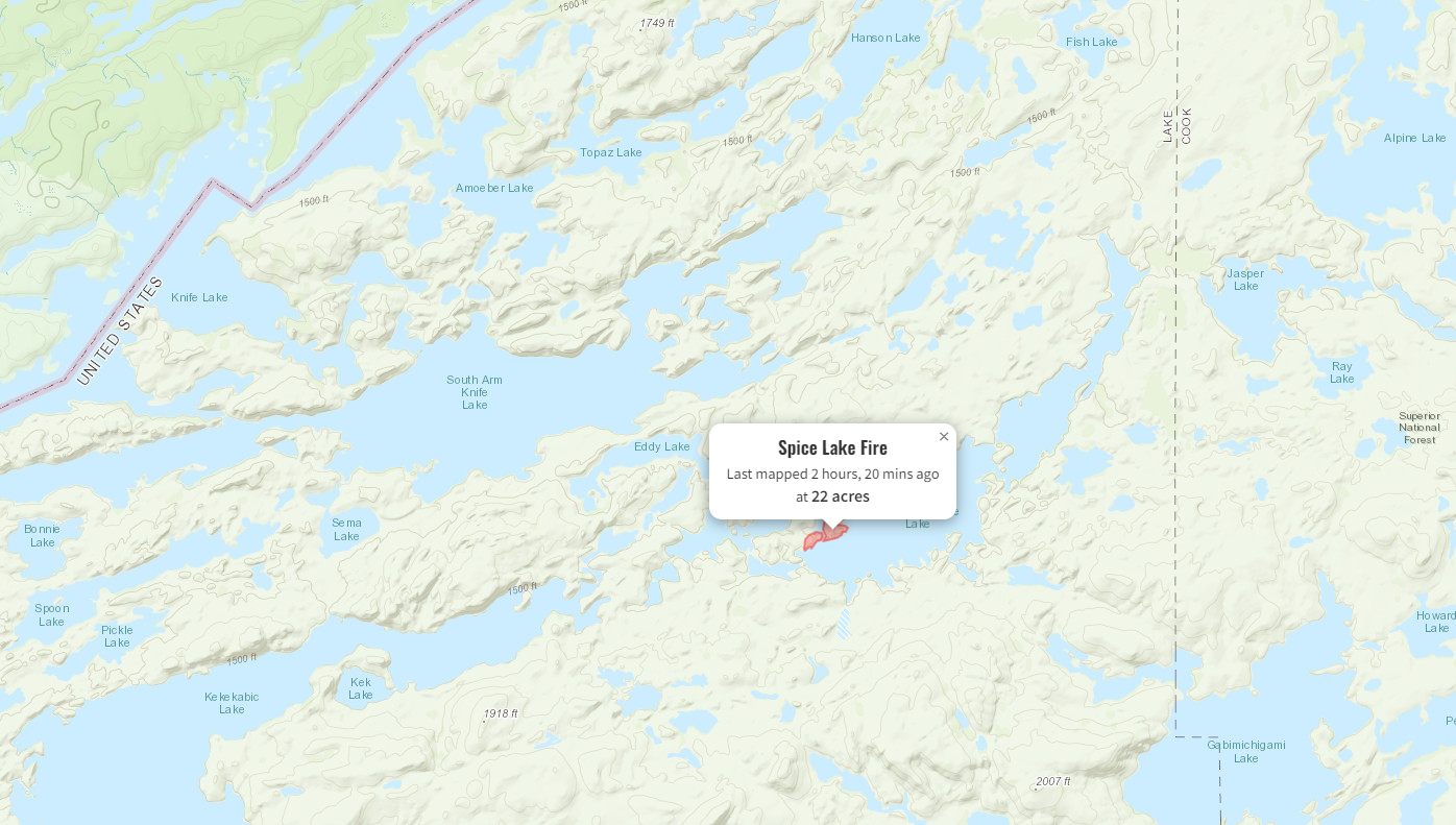
In the latest update from the Minnesota Incident Command System Team B and the U.S. Forest Service - Superior National Forest, the fire has a 65% containment and is now down to around 22 acres in size. Fire crews on the ground continue to report fire creeping and smoldering beneath the mixed timber and brush. They report that fire crews have used both direct and indirect efforts to create a good fire line around the perimeter of the fire in an effort to keep the fire within its current footprint. The fire crews continue to mop up the edges of the fire with a mix of tools and hoses they have installed along several portions of the fire. Additionally, fire crews have reportedly burned 3-4 acres to form a natural fire line instead of cutting a fire line. Fire investigators also came out to the fire area and determined the wildfire was human-caused. They will continue to investigate the cause of the fire over the coming days.
Fire crews are expected to continue to perform mop-up by extinguishing any additional hotspots or areas of heavy fuels. They report a light helicopter was assisted to the fire to assist crews with supply missions and any medivac needs that might occur while fire crews work to continue to contain the fire. While a 30% chance of light rain could benefit fire containment efforts, fire officials state the total amount of precipitation they are forecast to see are very low. Additionally, erratic and gusty winds could also occur within any storms that develop, which could hamper operations.
The closure of a portion of the BWCAW within the Superior National Forest remains in place at this time. The full closure from the Forest Service news release can be found here. A map of the areas that were closed can be found below. The closure order you can find here.

Cover photo provided by USDA Forest Service. Photo captured by L. Macho from the first day the fire occurred.